Geography
The Andaman Sea is part of the Indian Ocean. It is bordered by Burma/Myanmar, Thailand, Sumatra (at Pedropunt, Aceh) and the Andaman and Nicobar Islands who belong to India. The north-south expansion of the Andaman Sea stretches from the delta of the Irrawaddy River over about 1,200km until the beginning of the Strait of Malacca at Lem Voalan (at the tip of Phuket Island, according to the International Hydrographic Organization).
Octopus
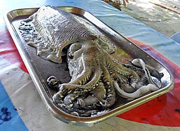
Fresh squid in a small restaurant in Laem Son National Park, Ranong Province, Thailand. Image by Asienreisender, 2012
Other inter- pretations include the coastlines of the Thai provinces of Krabi, Trang and Satun as well as the northern part of the Malaysian coast. In east-west direction it spans from the coasts of Thailand and Burma/Myanmar over 650km to the Andaman and Nicobar Islands.
A great number of islands are dotted into the Andaman Sea, as the 400 islands of the Mergui Archipelago, the islands around Ranong as Ko Chang, Ko Phayam, the Surin Islands and many more. The Andaman Islands and the Nicobar Islands comprise 204 islands. The Andamans have first been mentioned by the Italian traveller Marco Polo who came along there on his way back to Europe. The Kra Isthmus is also along the shores of the Andaman Sea.
The maximal depth of the Andaman Sea is between 4,200m and 4,400m; in average it's 870m deep, what is much deeper than the Gulf of Thailand.
Map of the Andaman Sea
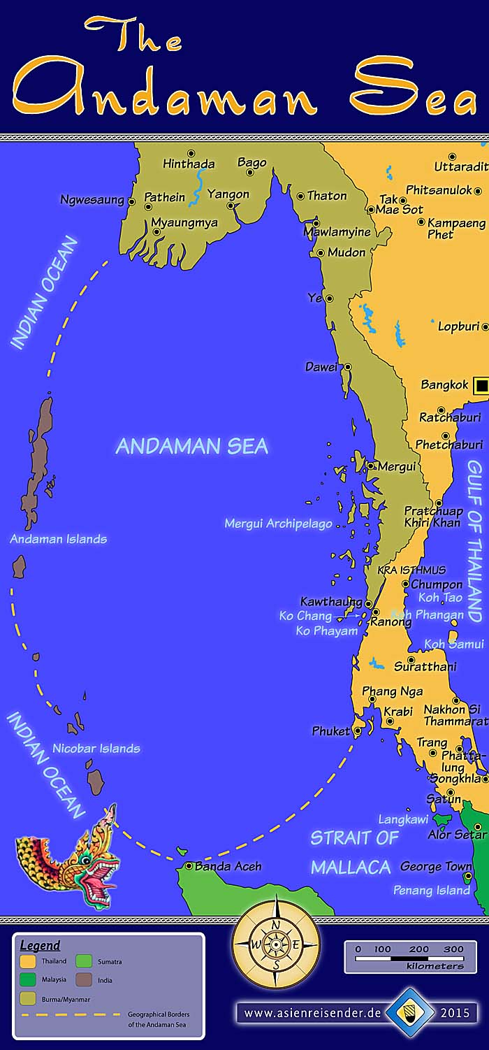
For a larger, 'Interactive Map of the Andaman Sea' click the link.
Nature
The western coasts of Burma/Myanmar and Thailand are by the greatest parts coined by mangrove forests. The mangroves were heavily damaged by the 2004 tsunami and are in degradation due to human activities (urbanization, industrialization, shrimp farms). The western coasts of the Malay Peninsula are also rich in coral reefs.
In the Mangroves...
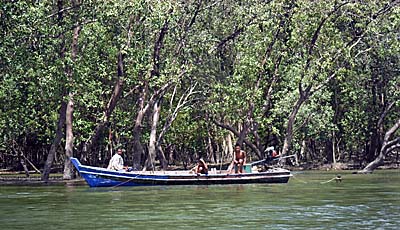
A fishing boat in the mangroves at Ranong's coast. Many of the people who live on the remote islands in the Andaman Sea are so called 'sea gypsies', as the Moken are, for example. These people are of significant different ethnic roots as the Thai People or the Malays are. Image by Asienreisender, 2012
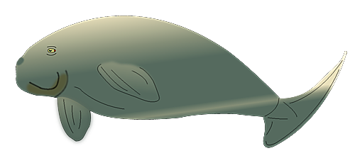
Part of the natural habitats are also large seagrass meadows. Among the many species living in the Andaman Sea are about 280 edible kinds of fish, a number of turtles, Irrawaddy Dolphins and many more. Between Ranong and Satun are estimated 150 remaining dugongs living. The dugongs are particularly endangered by the degradation of the seagrass meadows. The fishing industries do a lot of harm to the naval nature; overfishing of many species happens since the 1970s and it's getting ever worse. Pollution of the waters is affecting particularly the shorelines.
The coasts of the Andaman Sea were heavily impacted by the December 2004 tsunami, due to which about 230,000 people died.
Politics
There are conflicts between the litorial states about the borders of the national fishing grounds. The conflict between Burma/Myanmar and Thailand led even to the deployment of military units in the late 1990s. Thai fishing boats are also sometimes confronted by Malaysian navy patrols in Malaysian waters.
In 2015 the Andaman Sea is highlighted in the world news because of the refugee wave of the Rohingya People who flee their homelands in Burma/Myanmar towards south Thailand and Malaysia.
Thai Navy Carrier
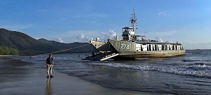
Ko Chang is a frontier island in the Andaman Sea with a small Thai military outpost on it. It's said that in former years Burmese military intruded the island and didn't do any good. Here the carrier brings supplies for the post. Image by Asienreisender, 2012